A new digital tool, OmnesViae, is bringing the Roman Empire's vast road network to life for modern users. By combining historical cartography with computational modeling, the platform allows anyone to calculate travel times between ancient cities as they would have been two millennia ago. The project, built on open-source data, offers a fresh perspective on how Rome's infrastructure shaped European history.
How OmnesViae Works
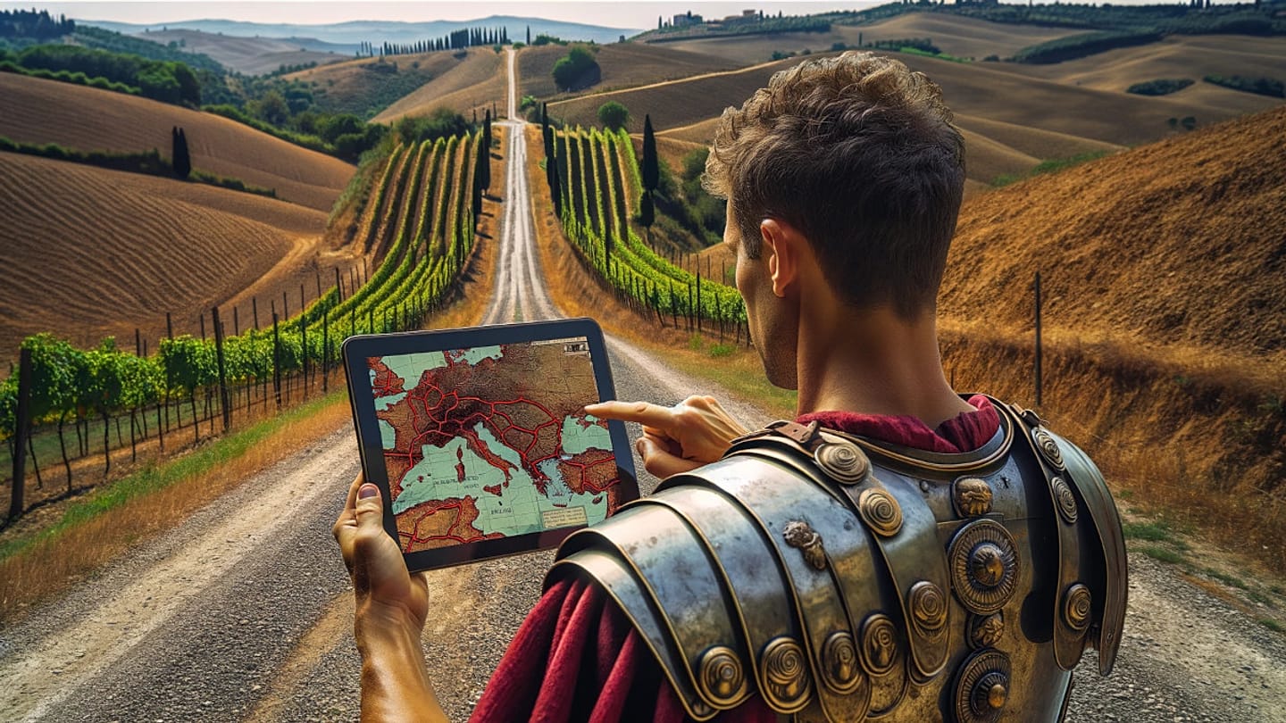
OmnesViae draws on the Tabula Peutingeriana, a medieval copy of a Roman road map, to reconstruct over 200,000 kilometers of roads. Users can input two ancient settlements—such as Londinium (London) and Lutetia (Paris)—and receive an estimated journey duration based on historical travel speeds, terrain, and waypoints. The tool accounts for factors like road quality and seasonal conditions, providing a nuanced view of ancient mobility.
For example, a trip from Rome to Mediolanum (Milan) might take about six days by carriage, while a military dispatch could cover the same distance in four. The calculations rely on data from Roman itineraries and modern archaeological studies, ensuring accuracy within the limits of available evidence.
European Relevance and Context
This digital reconstruction resonates across Europe, where Roman roads still underpin modern transport corridors. From the Via Appia in Italy to the Via Augusta in Spain, these ancient routes connected the continent long before the EU's Schengen Area. The tool highlights how infrastructure—then and now—facilitates trade, communication, and cultural exchange.
In an era of digital mapping dominated by companies like Google, OmnesViae offers a historical counterpoint. It reminds users that mapping is not just a modern convenience but a practice with deep roots in European civilization. The project also aligns with broader efforts to digitize cultural heritage, such as the EU's OmnesViae: Digital Tool Recreates Roman Empire's Road Network initiative.
Practical Applications and Limitations
While primarily an educational tool, OmnesViae has practical uses for historians, archaeologists, and travel enthusiasts. It can help reconstruct ancient trade routes, plan historical reenactments, or simply satisfy curiosity about how long it took to cross the empire. However, the tool relies on incomplete data; many roads and settlements remain unexcavated, and travel times are estimates rather than precise figures.
Despite these limitations, OmnesViae has gained traction among academics and the public. Its open-source nature allows for continuous improvement, with users contributing corrections and new data. The project's developers hope to expand coverage to include Roman provinces in North Africa and the Middle East, further enriching our understanding of the empire's reach.
Broader Implications for Digital Heritage
OmnesViae is part of a growing trend of digital humanities projects that make ancient history accessible. Similar efforts include 3D reconstructions of Pompeii and virtual tours of Hadrian's Wall. These tools not only educate but also foster a sense of shared European heritage, connecting modern citizens to the continent's classical past.
As Europe grapples with digital sovereignty and the dominance of tech giants, projects like OmnesViae demonstrate the value of homegrown, open-source alternatives. They offer a model for how cultural institutions can reclaim digital space, much like the Europe Must Act Now to Avoid Becoming a Digital Colony in the AI Race argument suggests.
In a world of instant navigation, OmnesViae invites users to slow down and consider the journeys of the past. It is a reminder that the roads we travel today are built on layers of history, and that understanding that history enriches our present.