As southern Europe grapples with record heatwaves and overtourism, more travellers are seeking alternatives in the Nordic region. But if everyone swaps Barcelona for Bergen or Mallorca for Malmö, the problem simply shifts north. Swedish outdoor brand Haglöfs has launched a project to prevent that scenario before it takes hold.
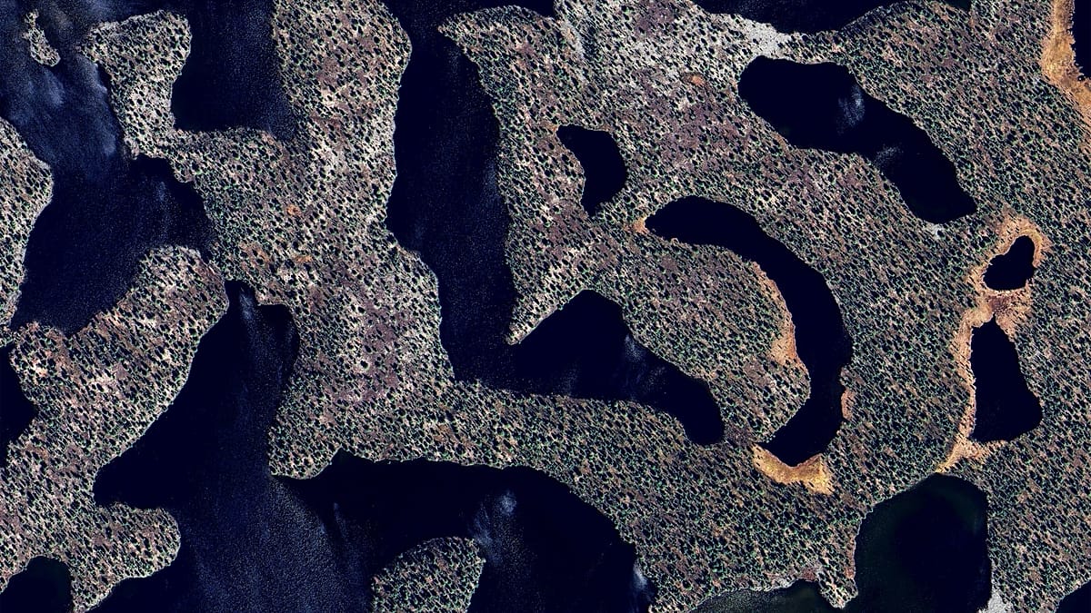
Using historical mobile network data from Telia, Sweden's largest mobile operator, and satellite imagery, Haglöfs created Unvisited Sweden, a map of 24 locations that have seen minimal human presence in modern times—at least since the advent of mobile phones. The map provides exact coordinates for spots where visitors are unlikely to encounter anyone else.
“It’s fantastic that more people want to experience the Swedish outdoors. But when everyone gravitates to the same destinations, part of what makes nature so special can be lost,” said Victor Adler, chief marketing officer at Haglöfs. “With this guide, we hope to ease the pressure on popular destinations by inspiring people to explore more of Sweden’s nature.”
How to Reach the Unvisited
Many of these spots are remote for a reason, but Haglöfs has worked with Euronews Travel to identify those accessible via paths or nearby cabins. Sweden’s Right of Public Access allows camping in the wilderness, and the Swedish Tourist Association (STF) offers cabin bookings in several areas.
At Rogen Nature Reserve in Härjedalen, visitors can walk among ancient pine forests and fish in the region’s many lakes. To get there, fly into Scandinavian Mountains Airport in Sälen, drive two and a half hours to Käringsjövallen, then hike 10 kilometres to STF Rogen Mountain Cabin.
For mountain enthusiasts, Lunndörrsfjällen in Jämtland offers alpine terrain. Fly to Åre Östersund Airport from Stockholm, drive two hours to Vålådalen, and hike 14 kilometres to STF Lunndörren Mountain Cabin. Another option near the same airport is Skäckerfjällen, which mixes alpine landscapes with wetlands near the Norwegian border. Kolåsens Fjällhotell, a two-hour drive from the airport, serves as a base for exploring the wider area.
Swedish Lapland is better known as a winter destination thanks to its association with Santa Claus, but summer offers solitude. Ruvájvuobme in Jokkmokk is one such spot, accessible via hiking trails and offering a chance to experience the region’s vast wilderness without crowds.
The project comes as Europe’s cities explore innovative ways to manage tourism and climate pressures. For instance, some cities are turning sewers into swimming spots to cope with heatwaves, while bathing water quality remains excellent across much of the continent, though inland spots still face pollution challenges.
Haglöfs hopes the map will inspire a spirit of exploration that distributes tourism more evenly across Sweden’s diverse landscapes, preserving the quiet that makes these places special.