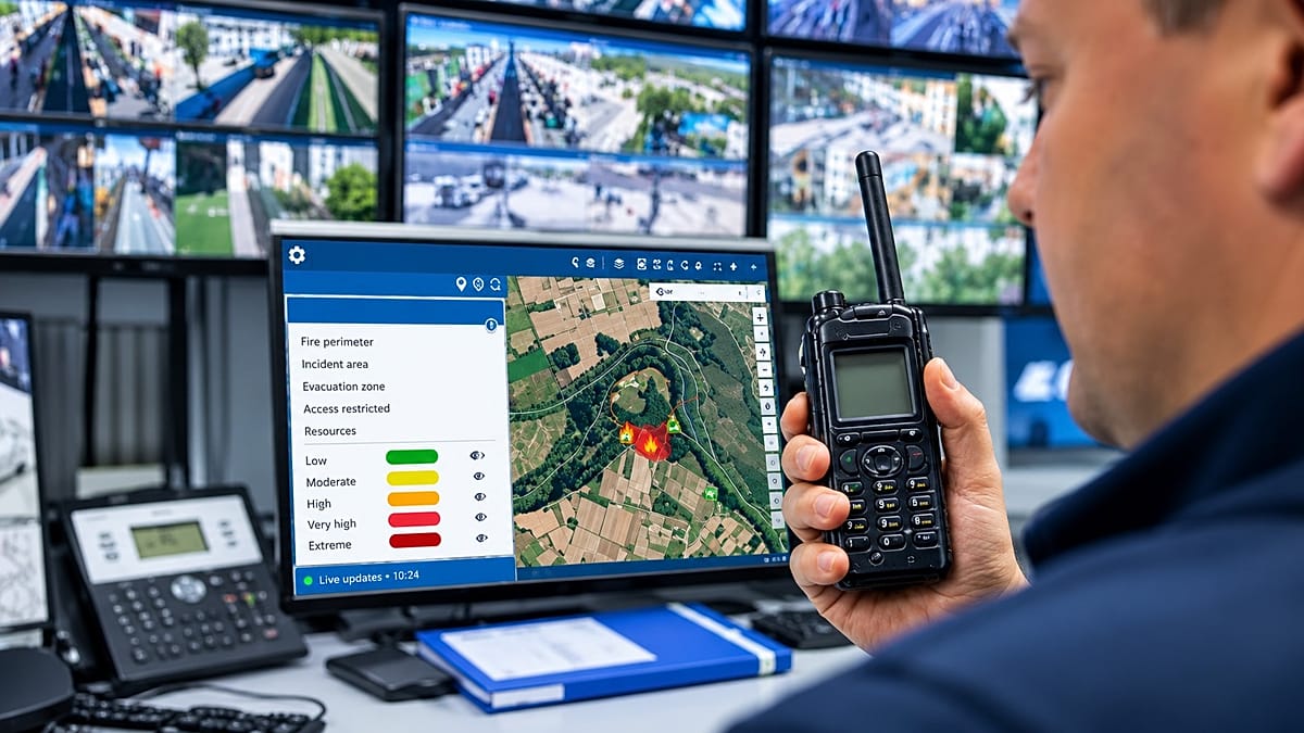
Europe has become adept at observing and modelling extreme weather, but converting that knowledge into effective harm reduction remains a critical bottleneck. As climate change amplifies risks from wildfires and floods to drought and heatwaves, the continent's ability to adapt hinges on more than just data collection—it requires turning raw information into actionable intelligence.
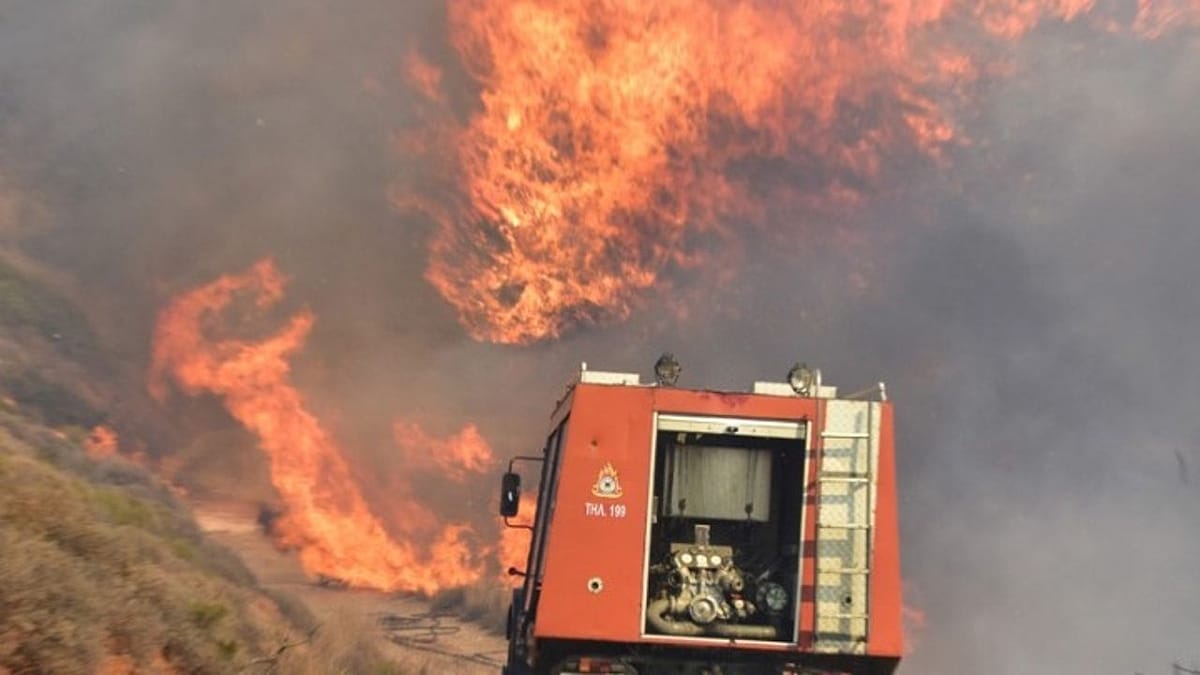
In summer 2026, half of the EU experienced some level of drought. By October, wildfires had scorched over 690,000 hectares—nearly twice the 20-year average. These figures underscore the scale of Europe's climate vulnerabilities and the urgent need to prepare for their consequences. The challenge now is not gathering more climate data, but making sense of what already exists, and using it to guide decisions while there is still time.
From raw data to operational decisions
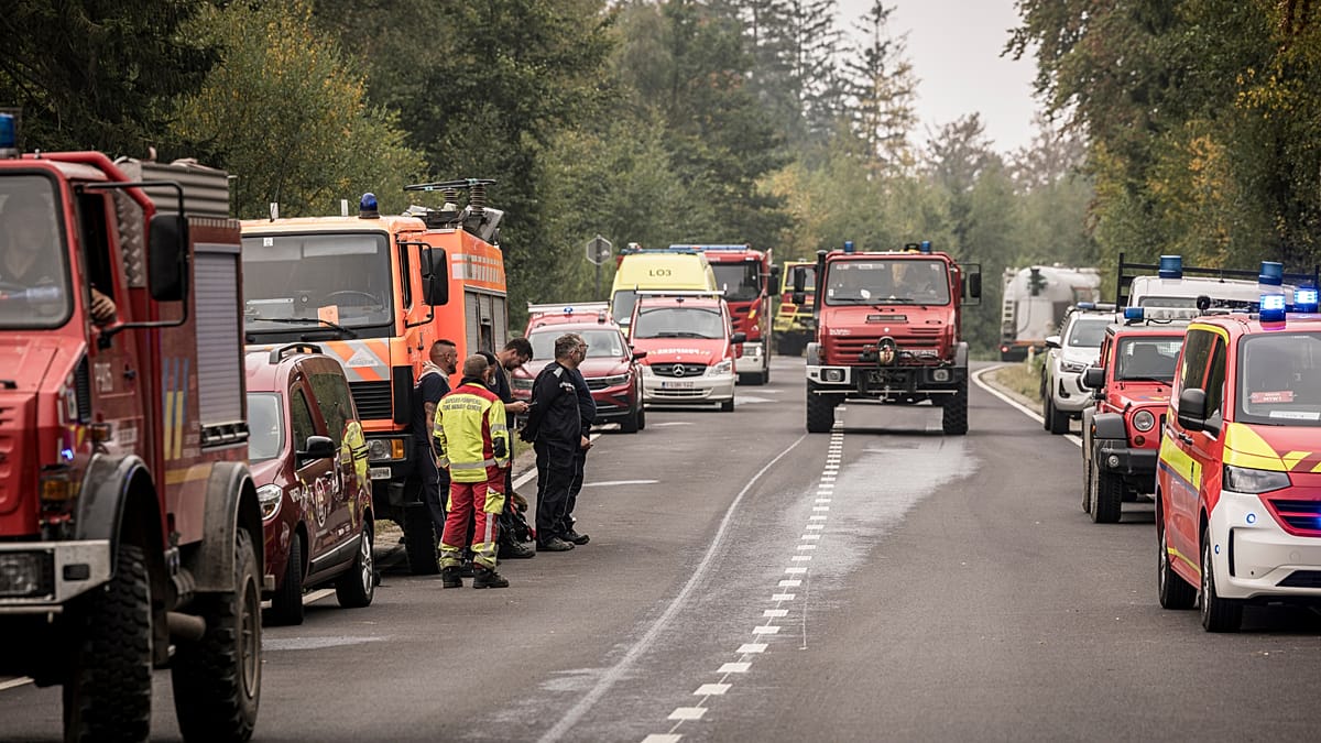
The volume of climate data from satellites and meteorological forecasts has never been greater, but raw numbers alone cannot steer an emergency response. Geographic information systems (GIS) transform these datasets into actionable maps, tracking extreme weather and flagging areas at risk of wildfires, flooding, and storms. By overlaying weather information with terrain, infrastructure, and emergency resources, GIS gives responders a clearer picture of the situation.
Embedded artificial intelligence can analyse these massive, real-time datasets to identify patterns and extract insights that might otherwise go unnoticed. Simulations allow teams to explore how an incident might develop, helping emergency services anticipate changing conditions and prioritise their response. The goal is not to predict every eventuality, but to give field teams better information on where danger is greatest and where to act first.
Case study: coordinating wildfire response in Navarre
In Spain's Navarre region, Vexiza has developed an integrated wildfire-management system that brings resource dispatch, operational planning, and fire monitoring into the regional emergency response system. Technicians and decision-makers can access information about response teams, air and ground resources, and weather conditions in one place. Simulations show how a fire might evolve over the next 24 hours, helping responders identify priority areas, assess road access, and consider evacuation routes.
Vexiza's open-access INFORCYL platform, developed for Castilla y León, aims to make live wildfire information available to the public through an interactive map. Users can see fire locations, severity levels, and deployed resources, with explanatory text to help non-specialists understand the response. Meanwhile, Horizon Wildfire Insights, a project supported by the European Space Agency and involving Airbus, B2Space, and Vexiza, integrates Earth observation data, aerial information, field reports, and emergency communications to give a clearer operational picture and support a coordinated response as the emergency unfolds.
Thanks to this innovative work, Vexiza is part of the global Santander X 100 community, a group of prominent companies within Banco Santander's entrepreneurship initiative. The community offers training, challenges, awards, benefits, and access to a network of experts, along with personalised financial solutions.
Data technologies also help authorities prepare for extreme weather before it occurs. While satellite imagery provides data on terrain, vegetation, and climate changes, AI systems can analyse patterns across these sources to identify emerging risks. Scenario modelling allows experts to explore how fires and floods might develop under different conditions, before they do. These tools do not eliminate uncertainty or replace human judgement, but they can help professionals identify vulnerable areas, compare possible scenarios, and prioritise preventive action, particularly when resources are stretched.
Case study: anticipating flood risk in Murcia
When it comes to flood forecasting, local context matters. Predicting heavy rainfall is one thing; understanding its potential consequences requires joined-up information on terrain, water flows, drainage, and exposed areas. In Spain's Region of Murcia, Vexiza has developed a hydrometeorological risk monitoring platform with regional research institute IMIDA. The platform brings together weather and environmental data to help assess flood risks, particularly in rural and coastal areas, and shares relevant information with emergency services.
Prevention also means tackling hazards on the ground. Vexiza's biomass monitoring platform, Xesbio, helps forestry authorities in Galicia track vegetation-clearance work and inspect high-risk areas. Its mobile tools allow teams to record inspections, including offline, and identify where further action may be needed.
Financial decisions: understanding what is at risk
As extreme weather increasingly affects the European economy, financial institutions and insurers are turning to climate intelligence to assess exposure. Understanding which assets are vulnerable—from infrastructure to supply chains—is becoming essential for investment and risk management. The ability to model future climate scenarios helps businesses and governments make informed decisions about where to build, what to insure, and how to allocate resources.
Europe's challenge is not a lack of information, but the capacity to act on it. The tools exist, and the data is abundant. What remains is the political will and institutional coordination to turn climate intelligence into timely, effective action. As the continent faces more frequent and severe disasters, the question is whether it can move from seeing the threat to stopping it in time.