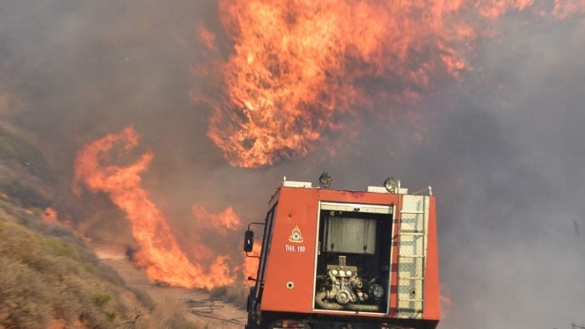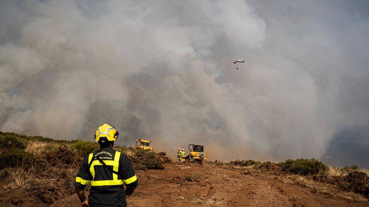
New aerial footage has laid bare the devastating scale of the La Mierla wildfire in the province of Guadalajara, central Spain. The blaze, which has consumed up to 30,000 hectares of forest and scrubland, is one of the largest wildfires to hit the region in recent years. Firefighters from across Castilla-La Mancha and reinforcements from neighbouring regions are working tirelessly to contain the flames, which have been fanned by high temperatures and dry conditions.
Firefighting Efforts Intensify
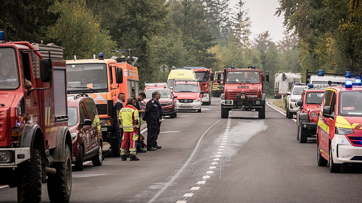
The wildfire, which started near the village of La Mierla, has forced the evacuation of several small communities and prompted the closure of roads and hiking trails in the area. Spanish authorities have deployed water-dropping aircraft, ground crews, and heavy machinery to create firebreaks and protect inhabited zones. The footage, captured by drones and helicopters, shows vast swaths of blackened terrain, with smoke plumes visible for kilometres.
“This is a critical moment for the region,” said a spokesperson for the regional government of Castilla-La Mancha. “We are mobilising all available resources to prevent further spread and safeguard lives and property.” The blaze has already destroyed significant areas of pine and oak forest, which are vital for local biodiversity and carbon storage.
Climate Change and Wildfire Risk
The La Mierla wildfire is part of a broader pattern of increasingly severe wildfires across southern Europe. In recent years, countries like Portugal, Greece, and France have experienced record-breaking fire seasons, with scientists linking the trend to rising temperatures and prolonged droughts driven by climate change. Spain’s interior ministry has warned that the Iberian Peninsula is particularly vulnerable, with hotter and drier summers expected to become the norm.
This incident echoes other major fires in the region, such as those that swept through France and southern Europe in previous years, claiming lives and causing extensive damage. The European Union’s Copernicus Emergency Management Service has been activated to provide satellite imagery and damage assessment, underscoring the cross-border nature of wildfire management.
Environmental and Economic Impact
The environmental toll of the La Mierla fire is significant. The affected area includes parts of the Alto Tajo Natural Park, a protected zone known for its deep gorges, rivers, and diverse wildlife. Ecologists fear that the loss of mature forest will disrupt habitats for species such as the Iberian lynx and the Spanish imperial eagle, both of which rely on these ecosystems. Soil erosion and water quality degradation are also concerns, as burned slopes are more prone to landslides and runoff.
Economically, the fire threatens local livelihoods that depend on tourism, agriculture, and forestry. The region’s rural economy, already fragile, faces a long recovery. Spanish authorities have pledged financial support for affected landowners and municipalities, but the full cost of the damage will take months to assess.
Community Response and Solidarity
Local communities have shown remarkable resilience, with volunteers providing food, water, and shelter to evacuees and firefighters. The mayor of La Mierla praised the “extraordinary spirit of solidarity” among residents, who have rallied to support emergency services. Similar acts of community cohesion were seen in Provençal villages during last year’s fires in southern France, highlighting a common European experience of facing nature’s fury together.
As the fire continues to burn, authorities urge residents and visitors to follow official guidance and avoid the affected zones. The coming days will be crucial in determining whether containment lines hold, especially if wind conditions shift. For now, the aerial footage serves as a stark reminder of the growing wildfire threat across the continent and the need for coordinated action on climate adaptation and forest management.