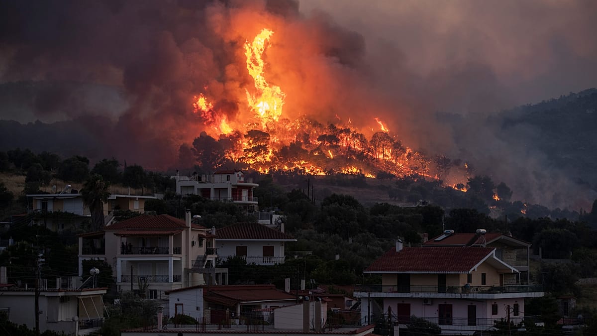
As Greece braces for another severe wildfire season, a new line of defense is taking shape in low Earth orbit. Four nanosatellites, each roughly the size of a carry-on bag, are now fully operational, scanning the country's forests and remote areas for the first signs of fire. This makes Greece the first nation worldwide to deploy a satellite constellation dedicated exclusively to firefighting, a system that could save lives and reshape how Europe tackles blazes.
The satellites, built by the German-Greek startup OroraTech, were launched in May and carry thermal sensors capable of detecting heat anomalies as small as four meters across. This is a significant leap over conventional satellites, which typically only spot fires comparable in size to a cruise ship. The data is processed by artificial intelligence models that analyze each 4-by-4-meter grid cell to distinguish actual fires from false positives like solar panels, overheated factory roofs, or sun-warmed rocks.
Real-Time Alerts for Firefighters
When a fire is confirmed, incident commanders receive an immediate alert with the blaze's precise location, size, and intensity. This real-time information is critical when multiple fires burn simultaneously, allowing authorities to prioritize resources and deploy crews effectively. “The platform brings together all the data and presents it to you as you are, for example, trying to put out a fire,” explains OroraTech CEO Ioannis Landouris. “If you are in the field with your tablet, you can see that: ‘If I deploy my crews here and here, there is a higher risk that the fire will move in that direction.’ At the same time, you can run simulations and forecast how the fire is likely to develop and spread.”
The system's hourly updates ensure continuous coverage, a feature Fire Brigade Commander Zisoula Dasiou highlights as vital. “With the four nanosatellites OroraTech launched in May, we will have this type of information every hour. There will be no gaps in coverage. This is important not only for early detection but also for the models that predict how a wildfire will spread,” she says.
Greece's Minister of Digital Governance, Dimitris Papastergiou, emphasizes the satellites' value in remote areas. “A fire in an urban environment is easily noticed by residents; they see the smoke and alert the authorities. However, a fire in a national park or a remote area can be detected much more quickly by such a satellite, which, thanks to its thermal cameras, can pick up these hot spots,” he notes.
The initiative is part of a broader European push for technological autonomy in disaster management. The satellites were developed with EU funding, and the system could be expanded to other member states. This comes as wildfires rage across southern Europe, with countries like Portugal, Spain, and Italy also battling blazes. Greece's approach offers a model for early detection that could reduce the scale of such disasters.
While the current constellation covers Greece, OroraTech plans to scale up to a global network. For now, the focus is on protecting Greek communities and ecosystems. The technology also supports firefighting crews by providing simulations of fire spread, helping them make informed decisions under pressure. As Landouris puts it, “We scan an area, use these images and send them to our artificial intelligence models. They analyze them with precision down to grid cells of 4 by 4 metres. Then, based on that analysis and the data held by the AI models, they can determine whether it is a fire or not.”
This system represents a practical application of space technology for civilian protection, aligning with Europe's ambitions in space and digital sovereignty. As climate change intensifies wildfire risks across the continent, Greece's pioneering use of satellites and AI could become a template for other nations.