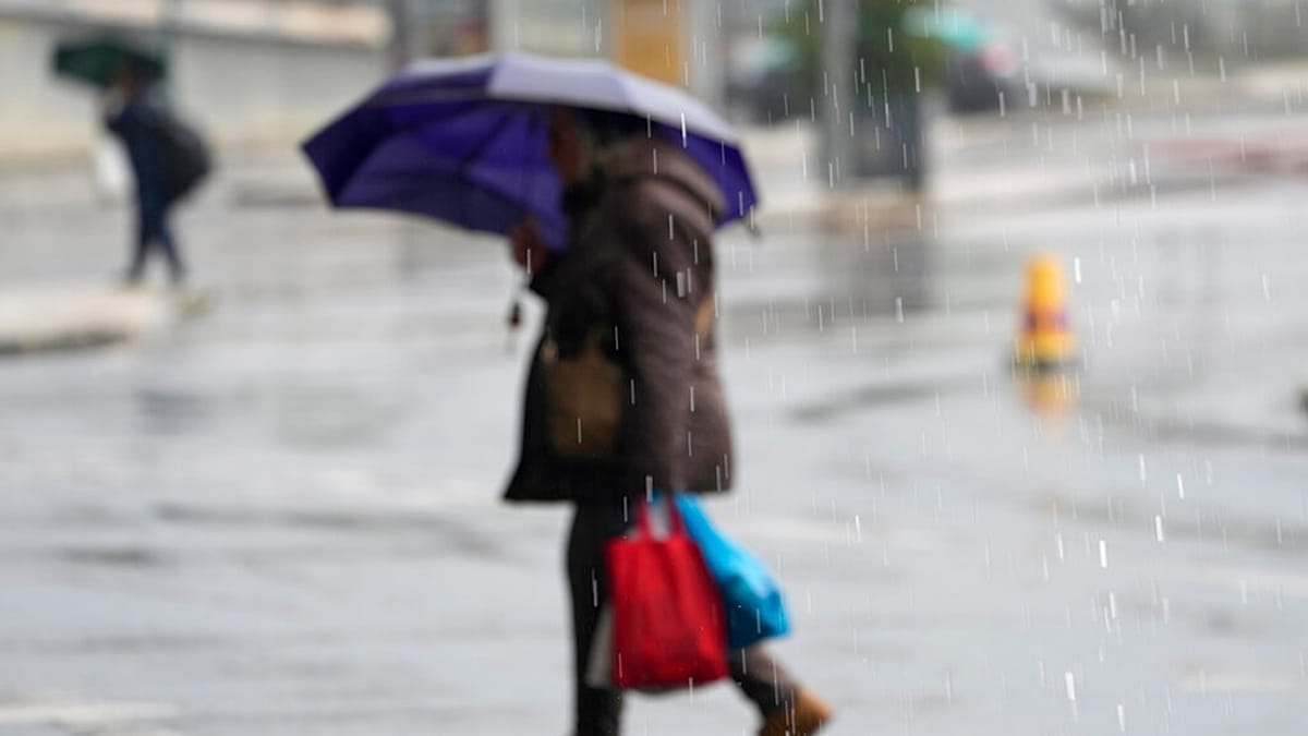
Two successive weather systems, named Charles and Bruna, are set to disrupt Portugal from late Tuesday, with the Atlantic archipelago of Madeira bearing the brunt first before the mainland feels the effects throughout Wednesday.
The Portuguese government has taken to social media to warn citizens, advising them to leave home only if absolutely necessary, particularly during the most intense spells of rain and wind. Those who must drive are urged to proceed with the utmost care. Authorities also recommend keeping torches, power banks, and other charged devices within easy reach in case of outages.
Portugal's meteorological service, the Instituto Português do Mar e da Atmosfera (IPMA), has issued orange-level warnings for rain, wind, and coastal conditions across several mainland districts, including Lisbon, Évora, Faro, Setúbal, Santarém, Leiria, Beja, and Castelo Branco. The agency expects Charles to reach the mainland from late Tuesday morning, bringing rainfall that could be heavy over most of the territory, with gusts up to 120 km/h and waves reaching six metres.
Red alert for Madeira
Madeira's mountainous interior and southern coast are under a red warning, the highest alert level, from 9pm Tuesday until 6am Wednesday, after which it will be downgraded to orange until 9am. The northern coast is under an orange warning for the same overnight period, while the neighbouring island of Porto Santo has a yellow alert.
IPMA forecasts rain or showers from Tuesday afternoon, at times heavy and persistent, with possible thunderstorms. On high ground, winds could reach 130 km/h, and waves on the south coast may climb to 4.5 metres.
The government has highlighted risks of flooding, landslides, structural damage, falling trees and debris, and coastal accidents. Power and communication lines could be intermittently disrupted.
Preparedness and safety measures
Residents are being urged to clear drains, gutters, and channels of debris to prevent blockages, and to remove anything that could obstruct water flow. People should stay away from rivers, streams, and previously flooded areas, as water can conceal hazards and sweep away both people and vehicles. Beaches, cliffs, breakwaters, piers, and riverbanks are also considered dangerous.
Drivers are advised to avoid parking in flood-prone zones, underground car parks, or beneath trees. Scaffolding and other temporary structures should be secured properly. The government warns that drainage systems will likely be overwhelmed by the volume of rain, leading to flooding in towns and cities.
In Lisbon, the fire brigade, Regimento de Sapadores Bombeiros (RSBL), responded to 130 weather-related incidents between midnight and 6am on Tuesday. Most involved flooding in homes and public spaces, with no significant damage reported. A spokesperson told Portuguese news agency Lusa that some roads were temporarily closed, including sections of the Segunda Circular, Campo Grande, Prior Velho, and Olivais, but these have since reopened. Three trees fell, but no injuries or property damage occurred.
This storm arrives as Portugal continues to grapple with broader environmental challenges, including efforts to reduce fossil fuel emissions across the continent. The severe weather serves as a reminder of the increasing frequency of extreme events, a trend that experts say requires sustained adaptation measures.