Europe's summer of extreme heat has left the Mediterranean Sea unusually warm, setting the stage for a volatile September marked by the threat of flash floods across southern Europe, according to weather forecasters.
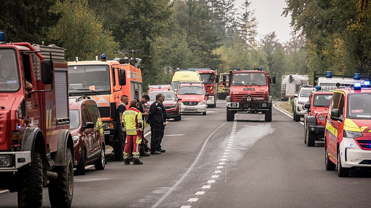
The European Commission described the season's blistering temperatures as a “grim illustration” of human-caused climate change, with July and August bringing heat that scientists said would have been “virtually impossible” without fossil fuel emissions. Drought conditions fueled devastating wildfires from Spain to Türkiye, forcing some of the largest evacuations since the Second World War.
Now, as September begins, the question is whether the continent can expect relief. Data from the forecasting platform WFY24 suggests the first week of September will remain warm across the Mediterranean, with daily highs averaging around 35°C in Rome, 34°C in Athens, and 33°C in Madrid—6 to 8°C above the seasonal norm. That warmth, however, is not just a matter of discomfort; it is a key ingredient for destructive storms.
Why September is flash-flood season
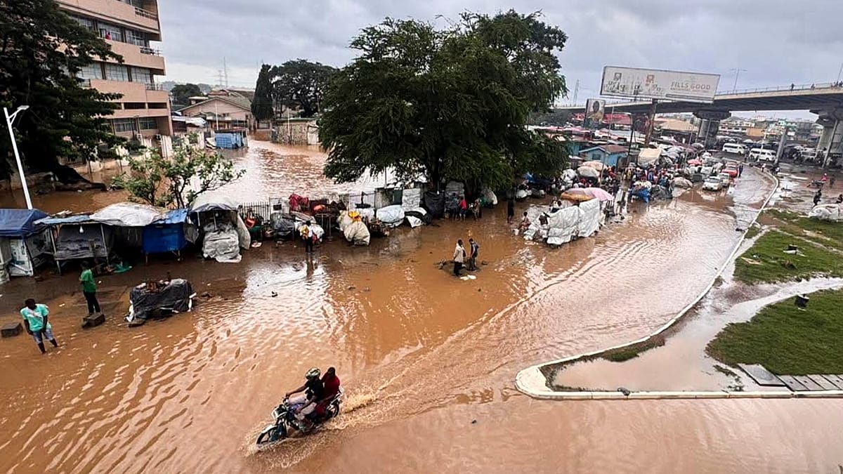
“September and October are the Mediterranean's flash-flood season: the sea is at its annual warmest after three months of heating and the first cold troughs arrive overhead,” explains Ioanna Vergini, founder of WFY24. The contrast between the warm sea and cooler upper air can spin up the weather system known in Spain as a DANA (Depresión Aislada en Niveles), or “cold drop.”
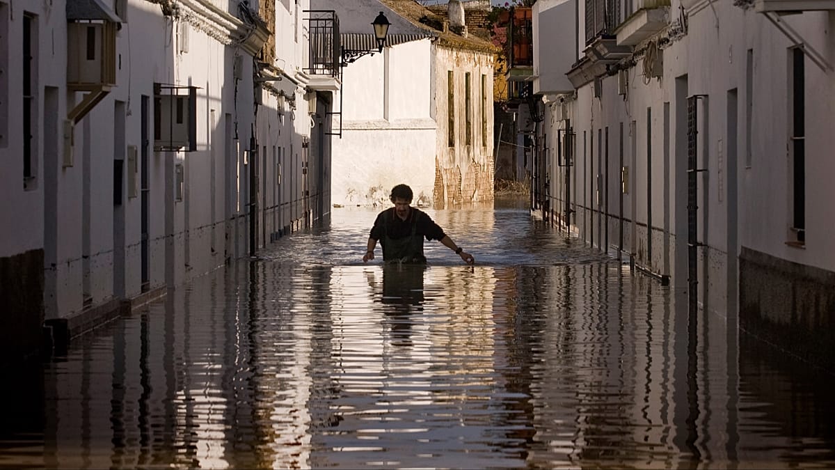
“That's what produced Valencia's deadly floods in October 2024 and Genoa's repeat events,” Vergini adds. “A hot summer loads it, because the sea is the fuel and it has spent the summer charging.”
Historical averages illustrate the seasonal shift: rainfall in Valencia jumps from an average of 18mm in August to 47mm in September, with similar increases in Palma (21mm to 55mm) and Palermo (15mm to 42mm). In contrast, northern European cities like Berlin, Warsaw, and Stockholm typically see slightly less rain in September than in August.
Northern Europe, meanwhile, is already experiencing a different pattern. The UK, Germany, and France have seen heavy rain and thunderstorms that have broken the heat and replenished parched soils. Forecasts for the first week of September show highs of just 21°C in Berlin and 20°C in London, a marked contrast to the Mediterranean's lingering warmth.
El Niño's indirect influence
Media attention has also focused on El Niño, with some warnings that this year's event could be among the strongest on record. The World Meteorological Organization (WMO) says the phenomenon—characterized by unusually warm sea surface temperatures in the eastern Pacific—continues to intensify and is expected to dominate global climate patterns in the coming months.
El Niño typically raises global temperatures and increases the frequency of extreme weather, but its effects are most pronounced in the tropics. South America, the southern US, East Africa, and Central Asia have seen heightened flood risks during past events, while droughts and wildfires have intensified in parts of Australia, northern South America, and Indonesia.
For Europe, the impacts are more indirect. The UK Met Office notes that El Niño may increase the chances of wetter, stormier conditions in northwest Europe during autumn and early winter. The European Commission adds that an El Niño could make Europe's autumn temperatures warmer than normal, with that warmth building toward next spring. Scientists fear that 2027 could become the hottest year on record globally, partly due to El Niño's contribution.
Despite the attention on El Niño, experts stress that climate change remains the primary driver of Europe's extreme summer. “This summer we have experienced heatwaves across Europe reminding us of the effects of climate change,” says Professor Stephen Belcher, Chief of Science and Technology at the UK Met Office. “This large El Niño is a reminder that natural variations in the climate system are also at play, adding to the stresses of climate change.”
As southern Europe braces for the possibility of flash floods, the region's infrastructure and emergency services will be tested. The growing popularity of September travel in Spain and elsewhere adds another layer of complexity, as tourists may find themselves in harm's way. Meanwhile, the EU capitals face a September deadline to fund nature restoration plans, which could help mitigate some flood risks in the long term.
For now, forecasters urge residents and visitors in the Mediterranean to stay alert. The combination of a warm sea and the first cold fronts of autumn is a recipe for sudden, violent downpours. As Vergini puts it, “The sea has spent the summer charging.”