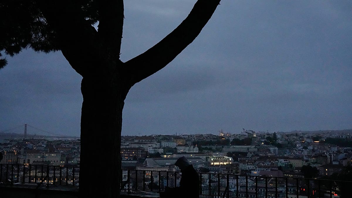
Portugal took the unprecedented step of closing every school and non-essential public service on Wednesday as Storm Charles bore down on the mainland. The government urged residents to stay indoors, and streets across the country were largely deserted ahead of the Atlantic storm's arrival.
The shutdown affected roughly 8,000 schools, marking the first time in living memory that classes were cancelled nationwide due to a forecast storm. Heavy rain and rough seas were expected to batter the Portuguese coast, with wind gusts reaching up to 140 kilometres per hour.
Transport and daily life disrupted
The storm brought much of the country to a standstill. Long-distance coach services were suspended, rail and river links faced cuts and restrictions, flights were cancelled, and port operations were limited. On Tuesday, thousands of people experienced power cuts.
In Lisbon, buses ran empty through the city, and some streets flooded after drains became clogged. A major supermarket chain, Pingo Doce, closed all its stores for the day. The Web Summit, a major international technology conference drawing around 70,000 attendees to Lisbon, cancelled its second day of events—a decision covered in detail by our report on the Web Summit cancellation.
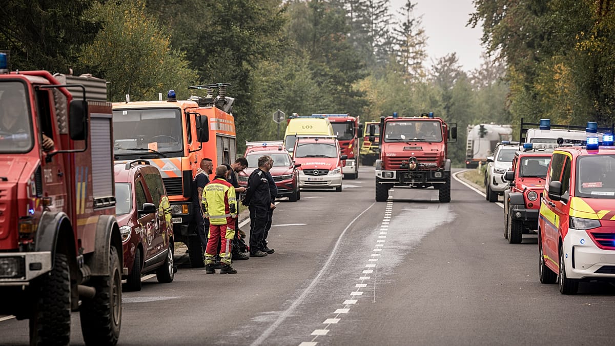
The government ordered remote working for civil servants, while telecommunications operators and insurance companies bolstered their response capacity. Emergency services, assisted by the armed forces, were placed on maximum alert to avoid a repeat of the tragedy caused by Storm Kristin earlier this year.
Storm weakens but warnings remain
Despite the extensive preparations, the latest forecasts suggest the storm's impact may be milder than initially feared. Jorge Ponte, a meteorologist at the Portuguese Institute for Sea and Atmosphere (IPMA), told local broadcaster SIC that Charles had split into two centres over the past few hours, a change he said "made all the difference."
Ponte explained that forecasters work with scenarios and probabilities, and most models had pointed to a difficult situation on Wednesday. However, the storm changed trajectory in a way the models had not predicted, significantly altering the outlook for the coming hours.
Passing further south of Madeira than first forecast, the depression's centre moved out of reach of the jet stream linked to Storm Bruna, losing the conditions that would have allowed it to intensify. According to the latest forecasts, one centre will move inland along the Alentejo coast, south of Lisbon, while the other is expected to head towards the Central region.
The change does not mean the earlier warnings about strong winds were misplaced. Winds will remain very strong, although some warnings have already been downgraded from red to orange. The situation remains fluid, and authorities continue to monitor the storm closely.
For those tracking the storm's evolution, our earlier analysis of the rare sting jet phenomenon provides context on why this storm was taken so seriously. The broader impact on the Iberian Peninsula is also being felt, as Spain braces for heavy rain and strong winds in the coming hours.