Portugal and Spain are bracing for the arrival of Storm Charles, the third named system of the 2026/27 season, which is expected to bring torrential rain and wind gusts of up to 120 km/h to the Iberian Peninsula from Wednesday. The storm follows closely on the heels of Depression Bruna, which has already caused significant disruption in Madeira.
According to the Portuguese Institute for Sea and Atmosphere (IPMA), Charles will first affect Madeira from late Tuesday, with conditions worsening on the mainland from Wednesday morning. The Spanish meteorological agency Aemet also identifies Wednesday as the peak of the storm, with Thursday remaining unsettled but less severe.
Forecast and trajectory
Both the European (ECMWF) and American (GFS) models indicate that the depression will initially track between the Canary Islands and Madeira. Its subsequent path remains uncertain, but the most likely scenario is that the storm's core will move toward the Iberian Peninsula via the Gulf of Cádiz or between Sines and Cabo Carvoeiro.
In Madeira, where Bruna caused flooding and left one person missing over the weekend, Charles is expected to bring persistent and at times heavy rain, with accumulations exceeding 100 mm in 12 hours in mountainous areas. Winds from the southwest will gust between 80 and 100 km/h, potentially reaching 130 km/h on high ground. Sea conditions will deteriorate, with southwesterly waves of 3.5 to 4.5 metres on the island's south coast.
On the mainland, IPMA forecasts wind gusts of 100 to 120 km/h, with locally higher values possible. Rain will be heavy across much of the country, and southwesterly waves of 4 to 6 metres are expected south of Cabo Carvoeiro from Wednesday afternoon. The Azores archipelago is not expected to be affected.
Warnings and preparedness
IPMA has announced that orange-level warnings will be issued, with the possibility of upgrades in some regions as forecast models update. The orange warning, the second-highest on the scale, indicates a moderate to high risk. Charles is a subtropical-origin system that formed at lower Atlantic latitudes, similar to tropical cyclone zones.
Depression Bruna, which remains nearly stationary northwest of the Iberian Peninsula until Friday, is an independent system. In Madeira, Bruna caused flooding, displaced ten people, and led to dozens of flight cancellations at Funchal airport.
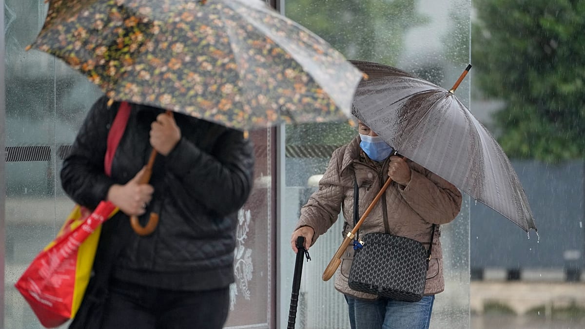
Civil Protection authorities have urged the public to take preventive measures. They advise avoiding coastal areas exposed to rough seas, not crossing flooded roads or paths, and staying away from wooded areas where falling branches or trees pose a risk. People are also encouraged to secure loose objects such as scaffolding, billboards, and balcony items, and to clear drainage systems of debris.
At home, residents should close and reinforce shutters and windows, especially those facing the wind. On the roads, defensive driving at reduced speed is recommended, with attention to potential standing water.
This storm comes as Spain and Portugal continue to grapple with broader challenges, including migration pressures in the Canary Islands and olive oil market interventions. The region's resilience will be tested again as Charles arrives.