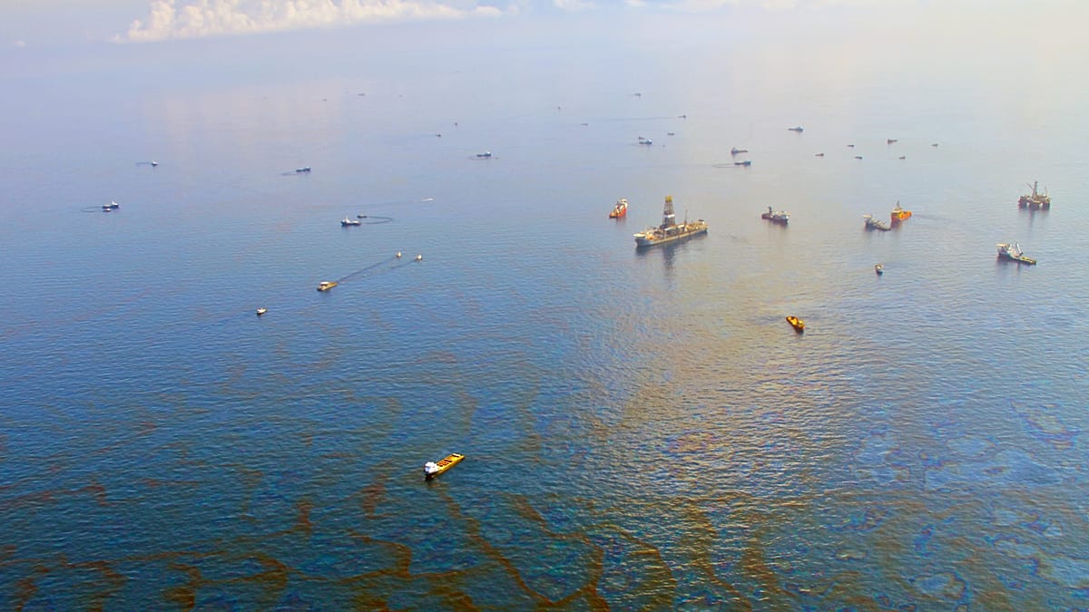
A new satellite analysis has mapped the true scale of oil pollution at sea, revealing that slicks cover an estimated 1.58 million square kilometres of the world's oceans every year — an area roughly three times the size of Spain. Unlike the dramatic Deepwater Horizon disaster, most of this pollution comes from smaller, chronic slicks that rarely attract public attention.
The study, released on 23 September during Climate Week NYC, was conducted by SkyTruth, a nonprofit organisation that uses satellite imagery to monitor environmental damage. Researchers drew on observations collected between 2023 and 2025, combined with data from SkyTruth's Cerulean oil pollution monitoring system, to model annual pollution from vessels and offshore facilities.
Shipping dominates the source of slicks
Of the slicks whose likely source could be identified, around 81 per cent were linked to ships. Oil tankers and cargo vessels were the most frequent offenders, while offshore oil and gas infrastructure accounted for another 18 per cent. The findings challenge the perception that major accidents are the primary cause of marine oil pollution.
“Oil pollution is a constant, global issue that happens far more often than the spills that make headlines,” said Karl Wuster, chief technology officer at SkyTruth.
The analysis identified several repeat polluters. Sixteen vessels were repeatedly observed alongside oil slicks, with three — a Palau-flagged cargo ship, a Russian oil tanker, and an Indonesian oil tanker — appearing near slicks in more than one in five satellite images. Some offshore facilities were also persistent sources: slicks appeared in nearly 29 per cent of images of one facility off Indonesia and about 24 per cent of another off Nigeria.
European seas among the worst affected
While the highest concentrations were found in the Red Sea, the Persian Gulf, and waters off West Africa and Indonesia, the Mediterranean and the Black Sea also emerged as significant hotspots. These enclosed seas, bordered by numerous European Union member states, are particularly vulnerable because of heavy shipping traffic and limited water exchange.
More than 90 per cent of the estimated pollution occurs within national waters, often close to coastlines. This means that European countries, with their extensive coastlines along the Mediterranean, Black Sea, and the Baltic, are directly exposed. The Baltic Sea has already seen incidents, such as a passenger ferry that ran aground off Sweden in 2023, leaving a five-kilometre fuel slick that eventually reached the shore.
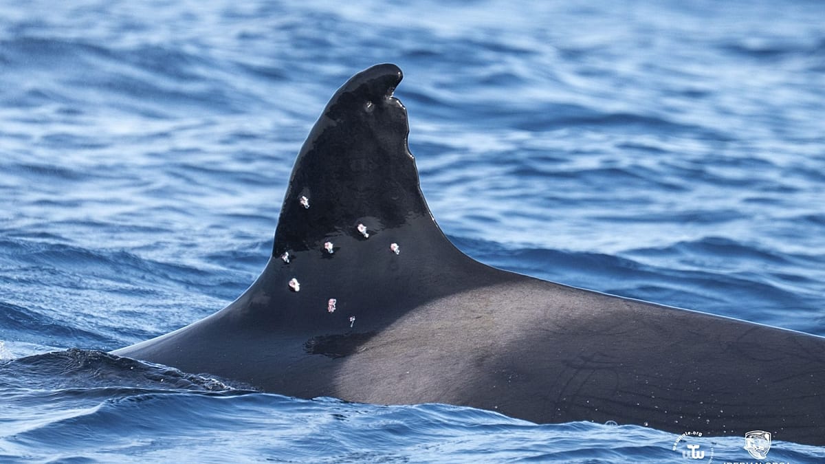
Protected areas are not immune. Although around 75 per cent of marine protected areas had lower oil slick concentrations than surrounding waters, pollution was still detected in sensitive habitats, including the critically endangered Rice's whale habitat in the Gulf of Mexico. In Europe, this raises concerns for marine reserves in the Mediterranean, where conservation efforts are already under strain.
Beyond shipping: conflicts and wrecks add to the threat
Oil pollution is not solely from routine operations. In August, oil from a carrier struck during the war in the Gulf washed ashore on Iran's Qeshm Island, reaching protected mangroves. A separate spill from a Russian shadow fleet tanker off Oman spread more than 2,000 square kilometres. These incidents highlight how geopolitical tensions can exacerbate environmental damage.
Accidents also remain a persistent danger. A mystery vessel that capsized off Tobago in 2024 triggered a national emergency, while the Swedish ferry incident shows that even passenger ships can cause significant slicks. Moreover, an estimated 8,500 potentially polluting shipwrecks, mostly from the two world wars, lie on the ocean floor, some already leaking as their hulls corrode.
The researchers caution that the true picture is still incomplete, as satellite coverage over the high seas is limited, leaving large expanses poorly monitored. This gap is particularly relevant for Europe, where the continent's water reserves are already under pressure from pollution and overuse.
For European policymakers, the findings underscore the need for stricter enforcement of maritime regulations and better monitoring of ship traffic, especially in enclosed seas like the Mediterranean and the Baltic. The EU has been stepping up its fight against pollution, but as this analysis shows, the scale of the problem is vast and often invisible.