Spain's State Meteorological Agency (Aemet) has issued a special warning for "very heavy and persistent" showers and thunderstorms across the Levante region and parts of the Balearic Islands, starting this Sunday and lasting for the next 48 hours. The storm system, named Adam, is a DANA (depresión aislada en niveles altos) that has become cut off from the main atmospheric circulation, and combined with a very humid easterly flow, it is expected to bring widespread rainfall to four provinces: southern Valencia, Alicante, the Region of Murcia, and the Almería coastline. The Balearic Islands, particularly the Pityusic Islands (Ibiza and Formentera), will also be significantly affected, with Mallorca likely to see substantial totals as well.
Red alerts and expected rainfall
Aemet's information note warns that the showers could become "torrential," but stresses that it is difficult to pinpoint exactly where the highest totals will occur. As of now, the agency maintains red alerts only along the southern Valencian coast and in the north of Alicante. In addition, orange alerts are in place for the Mediterranean areas mentioned, as well as for the Seville lowlands, Ronda, and the Sierra de Grazalema in the province of Cádiz.
"The most likely scenario indicates that the highest accumulations may occur along the southern coast of Valencia and around Cape La Nao, where amounts in excess of 60-90 millimetres in one hour and up to 200-300 mm in 12 hours are expected, with the possibility that they may extend to adjacent areas; as well as in the Pityusic Islands, where more than 160 mm could accumulate in 12 hours," the agency's statement reads.
From late in the day, rainfall could also be significant in coastal and pre-coastal areas of Alicante, Murcia, and Almería, and across the Balearics spreading to the island of Mallorca, with totals above 50 mm in one hour and 100-140 mm in 12 hours. The impact on Mallorca will be much more pronounced along its southern coast, where the Balearic capital, Palma, is located.
Aemet warns that late on Monday the episode could shift towards the north of the Valencia region and even reach Tarragona, before finally losing strength as Tuesday approaches.
This storm comes as parts of Europe are increasingly turning to sponge city designs to manage stormwater, a concept that could help mitigate the effects of such extreme rainfall events in urban areas. While the immediate focus is on the safety of residents and visitors in the affected zones, the frequency of such intense weather events raises broader questions about climate adaptation across the continent.
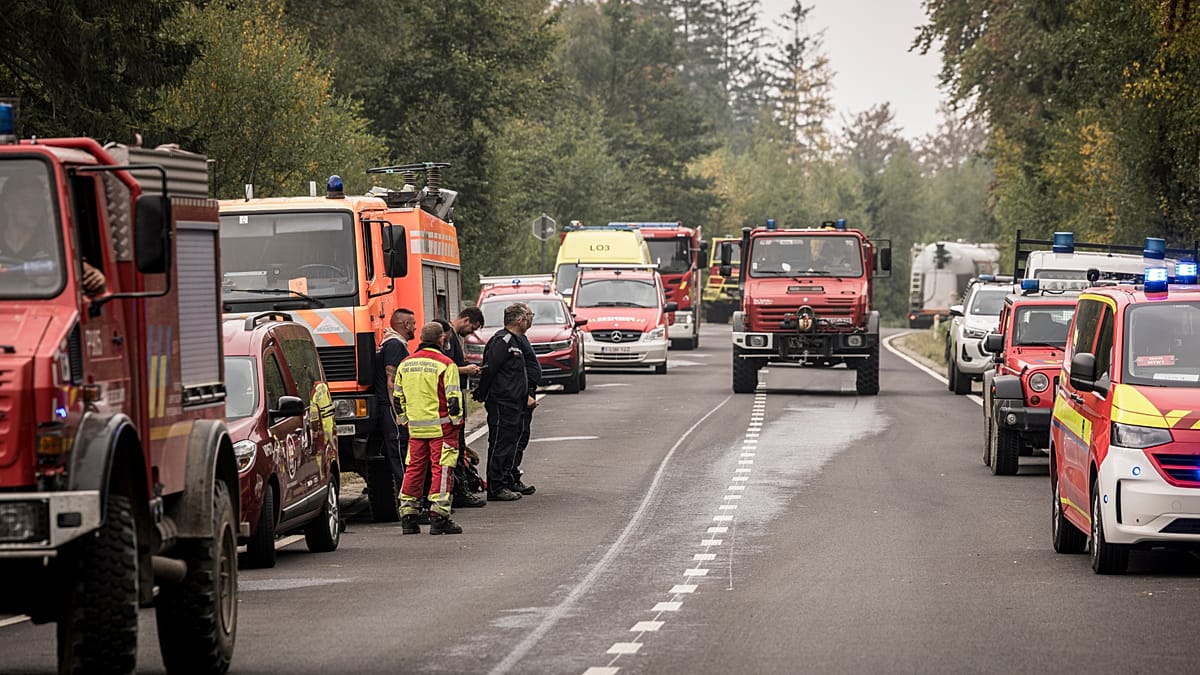
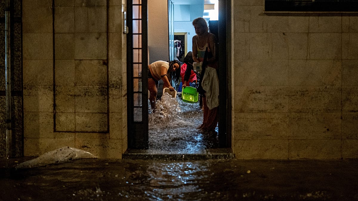
Local authorities in the affected regions are advising residents to stay indoors, avoid unnecessary travel, and heed the warnings from civil protection services. The heavy rain poses risks of flash flooding, especially in low-lying areas and near riverbeds, which are common in the Mediterranean coastal zones.
For tourists in Ibiza and Formentera, the storm could disrupt travel plans, as ferry services and outdoor activities may be suspended. The Balearic Islands are a popular destination for international visitors, and the timing of the storm, during the late summer season, adds to the potential impact.
As the storm develops, Aemet will continue to update its warnings, and residents are urged to monitor official channels for the latest information. The agency's ability to forecast such events has improved in recent years, but the unpredictable nature of DANAs means that localised impacts can vary significantly.
This is not the first time the region has faced such extreme weather. In recent years, similar storms have caused significant damage along the Spanish Mediterranean coast, highlighting the need for robust infrastructure and emergency preparedness. The European Union has been supporting projects aimed at improving flood resilience, and the lessons from these events are being shared across member states.
As the storm Adam approaches, the focus remains on protecting lives and property. The coming hours will be critical, and the cooperation of the public with authorities will be essential to minimise the impact of what could be one of the most significant weather events of the season.